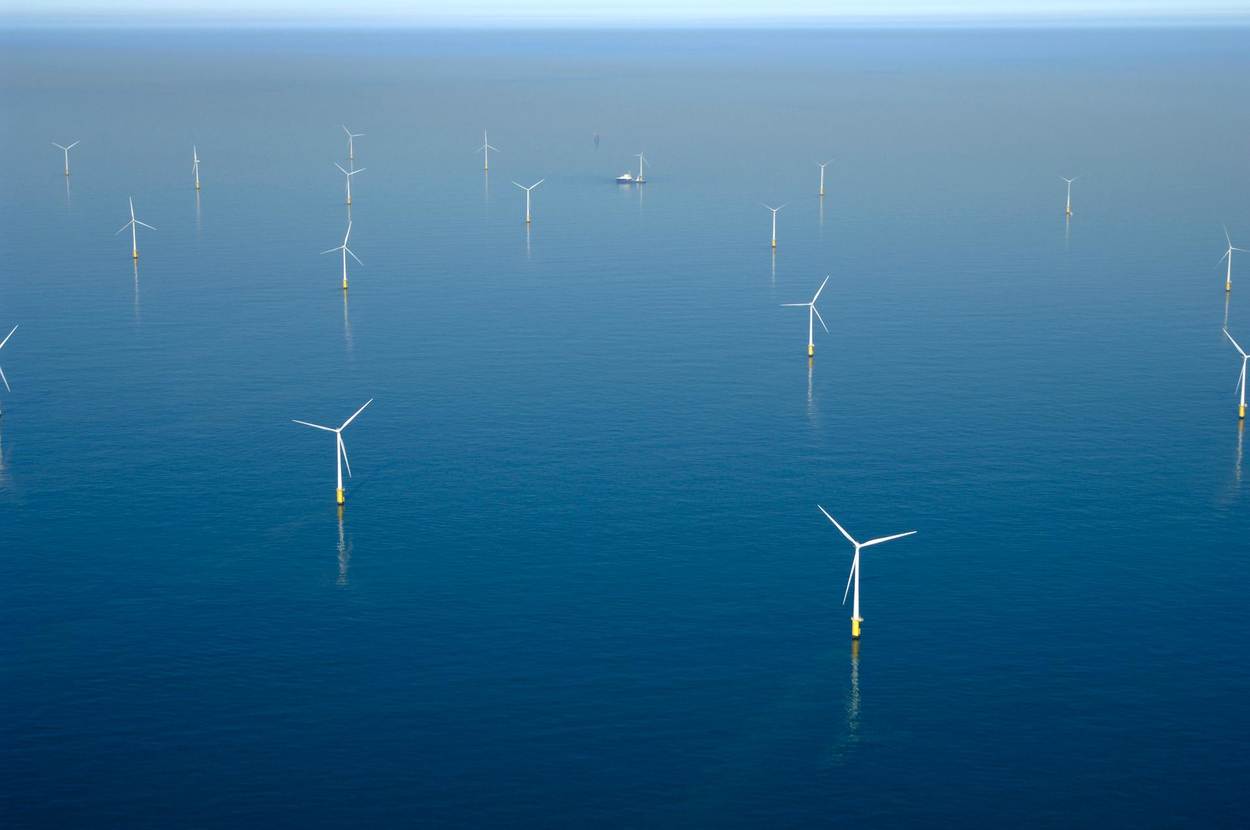
The aim of the DOWA project is to provide information that helps the offshore wind energy sector to better understand the wind resource on the North Sea. In the project the KNMI North Sea Wind (KNW) atlas was extended to the 31st of August 2019 when ERA-Interim ceased to be available. The KNW-atlas encompasses 40+ years (1979-2019).
The KNW-atlas provides valuable information on the North Sea wind climate (long-term averages, extremes and inter-annual variability). The project also produced the new 10-year Dutch Offshore Wind Atlas (DOWA), with a better representation of the wind on an hourly basis, wind information up to higher levels (600 m) and for a larger domain including the part of the North Sea where the German offshore wind farms are built and planned. For offshore wind farm sites Borssele, Hollandse Kust Zuid and Hollandse Kust Noord, very high resolution wind information is provided using Whiffle’s Large Eddie Simulation (LES) model GRASP. A lot of effort was put into improving the wind turbine parametrization in GRASP, nesting GRASP in KNMI’s atmospheric model HARMONIE and into modelling wind farm cluster wake effects in HARMONIE. High altitude winds were studied with ECN part of TNO’s scanning LiDAR and low level jets and wind profiles were studied using various offshore wind measurements. Assessments of the uncertainty in the wind resource and the effect of the North Sea offshore wind conditions on wind turbine performance and loads were provided by ECN part of TNO as well as recommendations concerning wind resource assessments.
